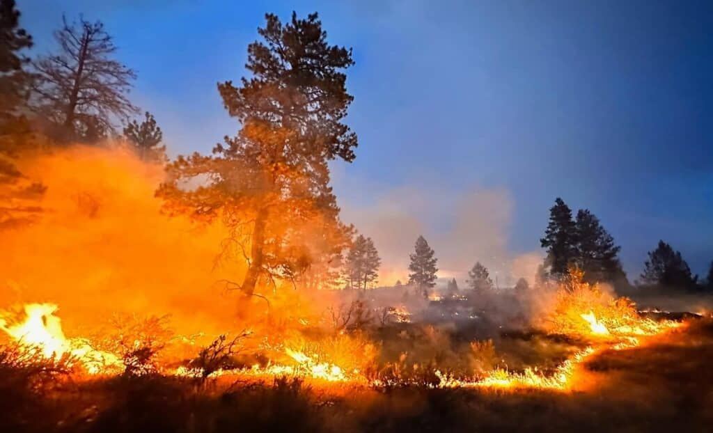
Mosier is in wildfire country, and wildfires present a real threat to the town and outlying residents. Here’s information you need to stay on top of burn bans and wildfire activity, and understand related notices.
Fun fact: human activity is easily the most common reason wildfires start in Oregon. We all need to pay attention to what we’re doing outside. It doesn’t take much heat to create an ember in some grass that only turns into a fire later.
Obviously wildfires don’t stick to any human calendar, but since burn bans are enacted and terminated based on the weather, they sort of define each year’s wildfire season. There are a number of different activities that can be restricted via burn bans – we have a guide to them below. Wasco County and Mosier Fire can declare their own separate burn bans.
Even if you have a Burn Permit from Mosier Fire, it is suspended while either a burn ban is issued by Mosier Fire OR while ODF issues a Regulated Closure.
Since the Mosier area includes a defined fire district as well as residents outside that district, and different fire districts can issue their own burn bans and fire restrictions, you may need to know whether you’re inside the Mosier Fire District.
There are some central places you can check (see below) for updates on active wildfires, but keep in mind that different government agencies and municipalities manage different tracts of land, and the managing agency is usually the source of updates on fires on the land it manages.
By far the most important wildfire-related notifications you can get are evacuation notices. Wasco County residents should register for Citizen Alert to make sure they get timely evacuation level updates.
Centralized Wildfire Information Sources
These sources pull info from a variety of original sources into one place.

- Watch Duty mobile app: Brings as-it-happens notifications on wildfire activity to your mobile device.
- NW Interagency Coordination Center: Issues daily updates on large fires and lightning activity in the NW.
- InciWeb national wildfire info map: Click/tap on a fire for details about it.
- Columbia Gorge Wildland & Fire Information Facebook Page: Posts updates on Gorge wildfires.
- U.S. Forest Service, Columbia River Gorge National Scenic Area: Posts updates on wildfires affecting our National Scenic Area, which includes parts of the Twin Tunnels trail.
- Federal map of wildfires and air quality: Click/tap on a fire for details about it.
Government Organizations
Here are the various organizations that may issue wildfire updates if they’re involved in managing a fire.
Mosier Fire
Get news and updates on their website and on Facebook.
Wasco County
Perimeter, a map-based platform for emergency information: https://perimetermap.com/wascocounty-or
Emergency Management page: https://www.co.wasco.or.us/departments/emergency_management/index.php
Sheriff: get fire updates on Twitter/X, Facebook
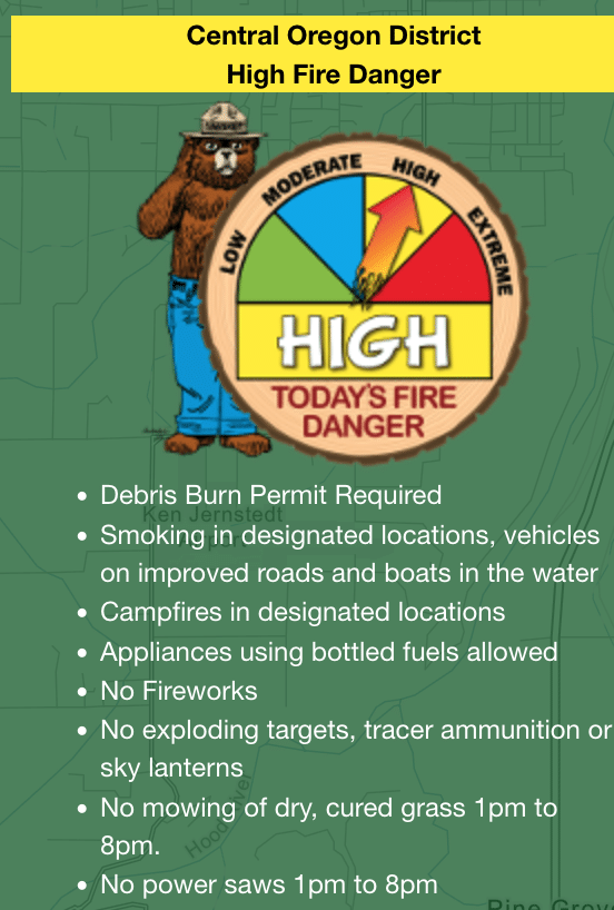
Oregon Department of Forestry, Central OR District
Note that Hood River County is included in the Central OR District. The District has an office in The Dalles: 541-296-4626.
Get ODF fire updates on Twitter/X and Facebook.
Hood River County
Fire Department: get fire updates on Facebook.
Sheriff: get fire updates on Twitter/X, Instagram.
Mid Columbia Fire Rescue
MCFR provides fire protection for 110 sq. mi. in northern Wasco County. See their website for their coverage area.
Get fire updates on Facebook.
Klickitat County
We include this because in high winds an active fire can jump over the river, and because any fire across from Mosier is bound to concern people.
Emergency Management page: https://www.klickitatcounty.org/249/Emergency-Management
Get fire updates on Facebook.
WA Dept. of Forestry
Get fire updates on Twitter/X.
Types of Fire Restrictions
Burn bans may refer to these different types of activities, which can be restricted at different times of year based on the weather.

Public Activities
Fireworks: are usually banned by a variety of municipalities and government organizations because they are… designed to cause fire!
Smoking: may be prohibited while traveling, except in vehicles on improved roads, because cigarette embers can start fires.
Camping: are not usually banned completely, but a number of restrictions can be placed on the location and types of fires allowed, along with requiring certain equipment to be on hand.
Burn Piles: Disposing of vegetation debris by burning it obviously a hazard since it produces a lot of embers, so this activity is always heavily restricted.
ODF provides a map of current public fire restrictions. Just click on your property to see all the restrictions in place.
Industrial Activities
There are four levels of fire precautions that can be declared for industrial activity (IFPLs) on State Forest land, where “industrial activity” includes power saws, loading/hauling, and welding, cutting, or grinding of metal – plus other activities that can produce sparks. You may see burn bans simply refer to the IFPL level without explaining it; see this guide for those explanations. You can also get more detail on keeping industrial equipment compliant with fire restrictions.
ODF provides a color-coded map of current industrial fire restrictions, where the color shows the current IFPL level for each district. The entire Mosier area is in district MH-1, so that’s the only district you should have to check.


